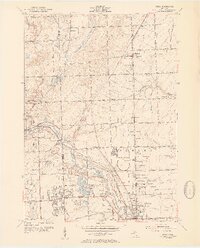
1952 Map of Utica
USGS Topo · Published 1954About this map
The Clinton River serves as the geographic heart of this mid-century portrait of Macomb and Oakland Counties, winding its way through the Rochester Utica State Recreation Area and into the city of Utica. This 1952 culture revision reveals an era of transition, where the grid of rural township roads—from Twentyeight Mile Road in the north to Hall Road in the south—is increasingly punctuated by industry and residential development. A massive oval Proving Grounds dominates the center of the sheet, while numerous gravel pits along the river banks indicate the post-war building boom.
Find a feature on this map
58 named features on this map. Tap any name to fly to it.
Don’t see what you’re looking for? This feature index may not catch every label — zoom into the map to look around manually.
Map Details
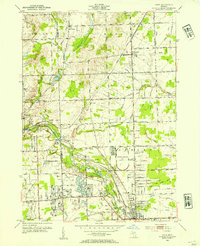
Editions of this 1952 Utica Map
2 editions found
Other maps of this area

1908 · Rochester
USGS Topo · 1:62,500

1912 · Mt Clemens
USGS Topo · 1:62,500

1914 · Armada
USGS Topo · 1:62,500

1928 · Armada
USGS Topo · 1:62,500

1929 · Mt Clemens
USGS Topo · 1:62,500

1936 · Warren
USGS Topo · 1:31,680

1936 · Birmingham
USGS Topo · 1:31,680

1936 · Rochester
USGS Topo · 1:31,680

1936 · Washington
USGS Topo · 1:31,680

1936 · Waldenburg
USGS Topo · 1:31,680
Featured Places
- Sterling Heights, MI
- Shelby Charter Township, MI
- Rochester Hills, MI
- Washington Charter Township, MI
- Oakland Charter Township, MI