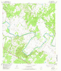
1982 Map of Utley
USGS Topo · Published 1982About this map
The Colorado River carves deep, dramatic meanders through the central Texas landscape, creating distinct geographic features like Pope Bend and Wilbarger Bend. This early 1980s landscape is characterized by the agricultural expanse of Hemphill Prairie and the transition between Travis and Bastrop counties. The settlement at Utley serves as a focal point near the river, while the surrounding hills are dotted with family and community landmarks that speak to generations of rural residency.
Find a feature on this map
31 named features on this map. Tap any name to fly to it.
Don’t see what you’re looking for? This feature index may not catch every label — zoom into the map to look around manually.
Map Details
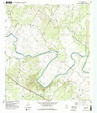
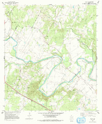
Editions of this 1982 Utley Map
3 editions found
Other maps of this area

1885 · Bastrop
USGS Topo · 1:125,000

1893 · Bastrop
USGS Topo · 1:125,000

1896 · Austin
USGS Topo · 1:125,000

1897 · Austin
USGS Topo · 1:125,000

1904 · Bastrop
USGS Topo · 1:125,000

1910 · Austin
USGS Topo · 1:125,000

1948 · Elgin
USGS Topo · 1:62,500

1948 · Bastrop
USGS Topo · 1:62,500

1950 · Bastrop
USGS Topo · 1:62,500

1950 · Elgin
USGS Topo · 1:62,500