
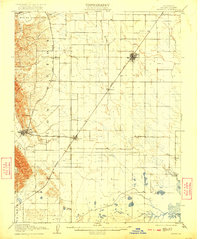
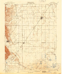
1908 Map of Vacaville
USGS Topo · Published 1908About this map
The agricultural plains of Solano County are bisected by the Southern Pacific and the Ogden Line in this early 20th-century survey. Vacaville and Dixon serve as the primary rail hubs, anchoring a landscape of smaller sidings and settlements like Hartley, Batavia, and Elmira. This era shows the transition of the region from open ranching toward industrial and utility development, evidenced by the Gas Well near the Mount Diablo Meridian and a Cement Mill situated in the Tolenas area to the south.
Find a feature on this map
49 named features on this map. Tap any name to fly to it.
Don’t see what you’re looking for? This feature index may not catch every label — zoom into the map to look around manually.
Map Details
Editions of this 1908 Vacaville Map
3 editions found
Other maps of this area

1896 · Carquinez Strait
USGS Topo · 1:62,500

1898 · Karquines
USGS Topo · 1:62,500

1901 · Karquines
USGS Topo · 1:62,500

1902 · Napa
USGS Topo · 1:125,000

1907 · Woodland
USGS Topo · 1:62,500

1907 · Davisville
USGS Topo · 1:62,500

1907 · Antioch
USGS Topo · 1:62,500

1908 · Courtland
USGS Topo · 1:62,500

1908 · Antioch
USGS Topo · 1:62,500

1910 · Rio Vista
USGS Topo · 1:31,680