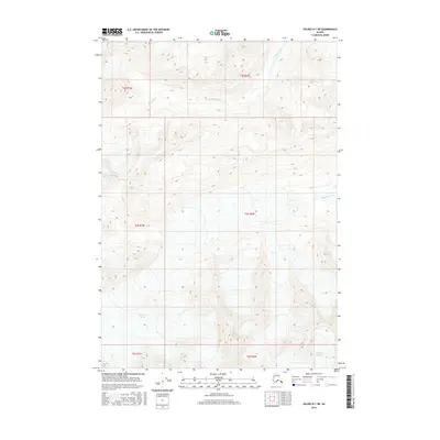
2016 Map of Valdez B-7 NE
USGS Topo · Published 2016About this map
Tazlina Glacier and Stephens Glacier dominate the high-altitude terrain in this remote part of the Alaskan interior. The landscape is defined by massive ice fields and the deep glacial valleys of the Hallet River and Stephens Creek. In the southeastern corner, the northern edge of the Klutina Glacier is visible, feeding the drainage systems that carve through the wilderness. This survey demonstrates the intricate relationship between high-latitude glaciation and hydrology, where the movement of ice serves as the primary sculptor of the mountain topography. The absence of roads or permanent settlements emphasizes the environmental challenges and the untouched nature of this region during the early 21st century.
Find a feature on this map
14 named features on this map. Tap any name to fly to it.
Don’t see what you’re looking for? This feature index may not catch every label — zoom into the map to look around manually.
Map Details
Editions of this 2016 Valdez B-7 NE Map
This is the sole edition of this map. No revisions or reprints were ever made.
Other maps of this area

1950 · Valdez C-6
USGS Topo · 1:63,360

1951 · Valdez B-6
USGS Topo · 1:63,360

1952 · Valdez
USGS Topo · 1:250,000

1953 · Valdez C-6
USGS Topo · 1:63,360

1953 · Valdez B-6
USGS Topo · 1:63,360

1960 · Valdez B-7
USGS Topo · 1:63,360

1960 · Valdez C-7
USGS Topo · 1:63,360

1960 · Valdez
USGS Topo · 1:250,000
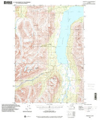
1993 · Valdez C-6
USGS Topo · 1:63,360
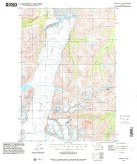
1993 · Valdez C-7
USGS Topo · 1:63,360