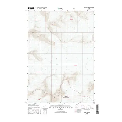
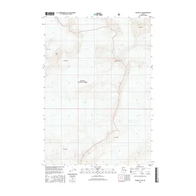
2016 Map of Valdez B-8 NE
USGS Topo · Published 2016About this map
Chugach National Forest land defines this high-altitude landscape, where massive ice fields and high peaks dominate the terrain. Centered within the quadrangle, the Tazlina Glacier is flanked by several prominent summits including the distinctive Tazlina Tower and Madean Peak. To the north, the Nelchina Glacier and Audubon Mtn mark the drainage divide, while the eastern reaches of the map feature the interestingly named Brontosaurus Mtn. The survey illustrates the complex glacial topography of the region as it appeared in the early 21st century, showing the expansive reach of the Columbia Glacier along the southern boundary. This map is a record of an environment shaped by moving ice and alpine elevations, with no roads or permanent settlements recorded within these township boundaries.
Find a feature on this map
14 named features on this map. Tap any name to fly to it.
Don’t see what you’re looking for? This feature index may not catch every label — zoom into the map to look around manually.
Map Details
Editions of this 2016 Valdez B-8 NE Map
This is the sole edition of this map. No revisions or reprints were ever made.
Other maps of this area

1952 · Valdez
USGS Topo · 1:250,000

1960 · Valdez B-7
USGS Topo · 1:63,360

1960 · Valdez C-7
USGS Topo · 1:63,360

1960 · Valdez B-8
USGS Topo · 1:63,360

1960 · Valdez C-8
USGS Topo · 1:63,360

1960 · Valdez
USGS Topo · 1:250,000
1993 · Valdez C-7
USGS Topo · 1:63,360
1993 · Valdez C-8
USGS Topo · 1:63,360
2016 · Valdez B-8 NW
USGS Topo · 1:25,000
2016 · Valdez B-7 SW
USGS Topo · 1:25,000