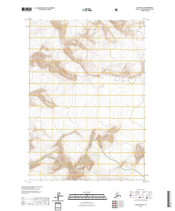
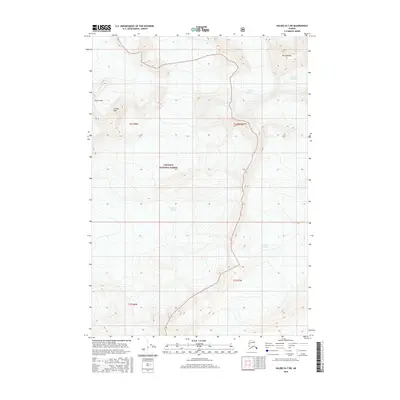
2023 Map of Valdez B-8 NE
USGS Topo · Published 2023About this map
Chugach National Forest encompasses the high-altitude terrain of this Copper River Census Area quadrangle, where the glacial landscape of the Chugach Mountains is prominently documented. The survey details the expansive Columbia Glacier and the smaller Science Glacier, illustrating the complex ice formations that define this region. High peaks dominate the horizon, including the specifically named Audubon Mtn, Brontosaurus Mtn, and Madean Peak. The map provides a precise record of the topographical contours and elevation changes that characterize this wilderness, offering a snapshot of the glacial and mountain geography as it appeared in the early 21st century. The absence of roads or permanent settlements underscores the remote, protected nature of this forest land, where the physical features themselves—the ice, the summits, and the timberline—serve as the primary landmarks.
Find a feature on this map
12 named features on this map. Tap any name to fly to it.
Don’t see what you’re looking for? This feature index may not catch every label — zoom into the map to look around manually.
Map Details
Editions of this 2023 Valdez B-8 NE Map
This is the sole edition of this map. No revisions or reprints were ever made.
Other maps of this area

1952 · Valdez
USGS Topo · 1:250,000

1960 · Valdez B-7
USGS Topo · 1:63,360

1960 · Valdez C-7
USGS Topo · 1:63,360

1960 · Valdez B-8
USGS Topo · 1:63,360

1960 · Valdez C-8
USGS Topo · 1:63,360

1960 · Valdez
USGS Topo · 1:250,000
1993 · Valdez C-7
USGS Topo · 1:63,360
1993 · Valdez C-8
USGS Topo · 1:63,360
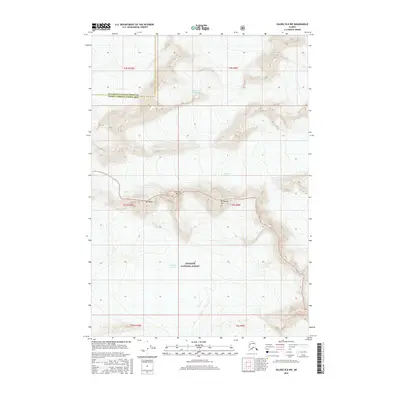
2016 · Valdez B-8 NW
USGS Topo · 1:25,000
2016 · Valdez B-7 SW
USGS Topo · 1:25,000