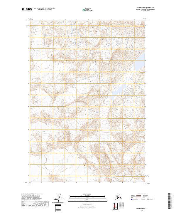
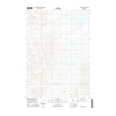
2023 Map of Valdez C-8 SE
USGS Topo · Published 2023About this map
Klanelneechena Creek flows through a high-altitude landscape defined by steep elevation changes and dramatic glaciated drainages in this modern study of the Valdez region. The terrain is characterized by massive ridgelines and alpine basins, with the topography documented by the U.S. Geological Survey using modern digital datasets. This specific area within the Copper River Census Area is marked by its isolation and lack of developed infrastructure, providing a clear record of the natural hydrology and land divisions including the boundaries of t3s r9w and t4s r8w. The map preserves the exact contour data and drainage patterns of this Alaskan wilderness as they existed in the early 2020s.
Find a feature on this map
5 named features on this map. Tap any name to fly to it.
Don’t see what you’re looking for? This feature index may not catch every label — zoom into the map to look around manually.
Map Details
Editions of this 2023 Valdez C-8 SE Map
This is the sole edition of this map. No revisions or reprints were ever made.
Other maps of this area

1952 · Valdez
USGS Topo · 1:250,000

1960 · Valdez B-7
USGS Topo · 1:63,360

1960 · Valdez C-7
USGS Topo · 1:63,360

1960 · Valdez B-8
USGS Topo · 1:63,360

1960 · Valdez C-8
USGS Topo · 1:63,360

1960 · Valdez
USGS Topo · 1:250,000
1993 · Valdez C-7
USGS Topo · 1:63,360
1993 · Valdez C-8
USGS Topo · 1:63,360
2016 · Valdez B-8 NW
USGS Topo · 1:25,000
2016 · Valdez C-7 NW
USGS Topo · 1:25,000