
1963 Map of Valentines
USGS Topo · Published 1964About this map
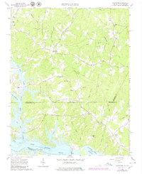
The state line between Virginia and North Carolina bisects this landscape, where the waters of the Roanoke River have been harnessed into the extensive reservoirs of Lake Gaston and Roanoke Rapids Lake. These water bodies dominate the southern half of the map, their irregular shorelines reaching deep into the countryside through inlets like Pea Hill Creek and Jimmies Creek. The area retains a rural character defined by small crossroads settlements and a network of country houses.
Find a feature on this map
42 named features on this map. Tap any name to fly to it.
Don’t see what you’re looking for? This feature index may not catch every label — zoom into the map to look around manually.
Map Details
Editions of this 1963 Valentines Map
4 editions found
Other maps of this area

1919 · White Plains
USGS Topo · 1:48,000

1919 · Emporia
USGS Topo · 1:62,500

1920 · White Plains
USGS Topo · 1:62,500

1942 · Emporia
USGS Topo · 1:62,500

1953 · Norfolk
USGS Topo · 1:250,000

1963 · Powellton
USGS Topo · 1:24,000

1963 · Barley
USGS Topo · 1:24,000

1963 · Gasburg
USGS Topo · 1:24,000

1963 · Ante
USGS Topo · 1:24,000

1963 · White Plains
USGS Topo · 1:24,000