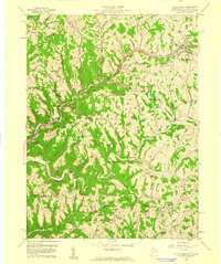
1959 Map of Valley Grove
USGS Topo · Published 1961About this map
The Baltimore and Ohio Railroad follows the winding path of Little Wheeling Creek and Wheeling Creek, anchoring the development of early Ohio County settlements. This late-1950s landscape is defined by the historic National Road, which parallels the rail line through Valley Grove and Triadelphia. Higher elevations are home to community landmarks such as Stone Church and the County Home and Sanatorium, while the northern portion of the quadrangle shows the pastoral divide between West Virginia and Pennsylvania near West Alexander.
Find a feature on this map
62 named features on this map. Tap any name to fly to it.
Don’t see what you’re looking for? This feature index may not catch every label — zoom into the map to look around manually.
Map Details
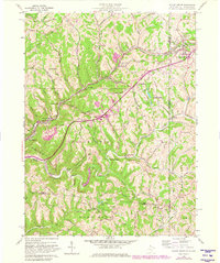
Editions of this 1959 Valley Grove Map
2 editions found
Other maps of this area

1902 · Wheeling
USGS Topo · 1:62,500

1904 · Cameron
USGS Topo · 1:62,500

1905 · Rogersville
USGS Topo · 1:62,500

1907 · Claysville
USGS Topo · 1:62,500

1935 · Cameron
USGS Topo · 1:62,500

1935 · Wheeling
USGS Topo · 1:62,500

1942 · Cameron
USGS Topo · 1:62,500

1942 · Wheeling
USGS Topo · 1:62,500

1949 · Clarksburg
USGS Topo · 1:250,000

1951 · Canton
USGS Topo · 1:250,000