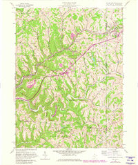
1959 Map of Valley Grove
USGS Topo · Published 1982About this map
National Road and the Baltimore and Ohio Railroad anchor this 1959 survey of the West Virginia-Pennsylvania borderlands. The landscape is defined by the deep incisions of Wheeling Creek and its many tributaries, including Middle Creek and Short Creek, which have shaped the settlement patterns of towns like Valley Grove and West Alexander. This map captures a rural industrial and social infrastructure that includes the County Home and Sanatorium and several localized schoolhouses such as the Middle Creek Sch.
Find a feature on this map
57 named features on this map. Tap any name to fly to it.
Don’t see what you’re looking for? This feature index may not catch every label — zoom into the map to look around manually.
Map Details
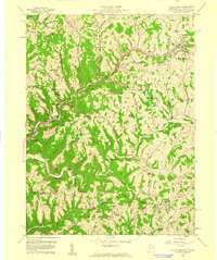
Editions of this 1959 Valley Grove Map
2 editions found
Other maps of this area

1902 · Wheeling
USGS Topo · 1:62,500

1904 · Cameron
USGS Topo · 1:62,500

1905 · Rogersville
USGS Topo · 1:62,500

1907 · Claysville
USGS Topo · 1:62,500

1935 · Cameron
USGS Topo · 1:62,500

1935 · Wheeling
USGS Topo · 1:62,500

1942 · Cameron
USGS Topo · 1:62,500

1942 · Wheeling
USGS Topo · 1:62,500

1949 · Clarksburg
USGS Topo · 1:250,000

1951 · Canton
USGS Topo · 1:250,000