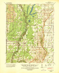
1940 Map of Valley Ridge
USGS Topo · Published 1943About this map
Crowleys Ridge rises above the lowlands of the Bootheel, providing a distinct topographic contrast to the surrounding drainage networks of the St Francis River. During the early 1940s, this landscape was defined by an extensive system of engineered waterways, including Otter Slough and numerous numbered ditches like Ditch No 15, designed to reclaim the fertile bottomlands. These waters were crossed by vital transportation links such as Higginbothams Ferry and the Wilhelmina Fagus Ferry, which connected rural communities before modern bridging was universal.
Find a feature on this map
79 named features on this map. Tap any name to fly to it.
Don’t see what you’re looking for? This feature index may not catch every label — zoom into the map to look around manually.
Map Details
Editions of this 1940 Valley Ridge Map
This is the sole edition of this map. No revisions or reprints were ever made.
Other maps of this area
1934 · Bloomfield
USGS Topo · 1:62,500
1934 · Puxico
USGS Topo · 1:62,500
1935 · Poplar Bluff
USGS Topo · 1:62,500
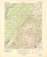
1935 · Rector
USGS Topo · 1:62,500
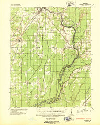
1935 · Harviell
USGS Topo · 1:62,500
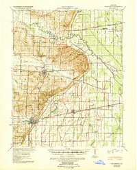
1939 · Bloomfield
USGS Topo · 1:62,500
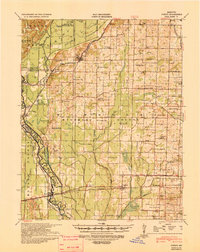
1939 · Puxico
USGS Topo · 1:62,500
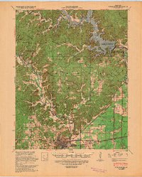
1939 · Poplar Bluff
USGS Topo · 1:62,500
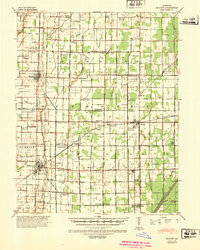
1940 · Malden
USGS Topo · 1:62,500
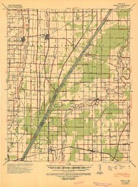
1940 · Pascola
USGS Topo · 1:62,500