
1944 Map of Valley Springs
USGS Topo · Published 1944About this map
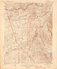
The Mokelumne River and Calaveras River anchor this mid-century survey of the foothills where San Joaquin, Calaveras, and Stanislaus counties meet. This was a critical era for California's water infrastructure, evidenced by the presence of the Mokelumne Aqueduct and the massive Pardee Res. Away from the major hydraulic works, the landscape is defined by ranching and small-scale mining, with family-named operations like Rocabella Ranch, Stone Corral Ranch, and the Mc Carty Mine scattered across the hills.
Find a feature on this map
47 named features on this map. Tap any name to fly to it.
Don’t see what you’re looking for? This feature index may not catch every label — zoom into the map to look around manually.
Map Details
Editions of this 1944 Valley Springs Map
4 editions found
Other maps of this area

1889 · Jackson
USGS Topo · 1:125,000

1892 · Jackson
USGS Topo · 1:125,000

1894 · Lodi
USGS Topo · 1:125,000

1897 · Jackson
USGS Topo · 1:125,000

1902 · Jackson
USGS Topo · 1:125,000

1908 · Linden
USGS Topo · 1:31,680

1909 · Goose Creek
USGS Topo · 1:31,680

1909 · Clements
USGS Topo · 1:31,680

1915 · Trigo
USGS Topo · 1:31,680

1915 · Peters
USGS Topo · 1:31,680