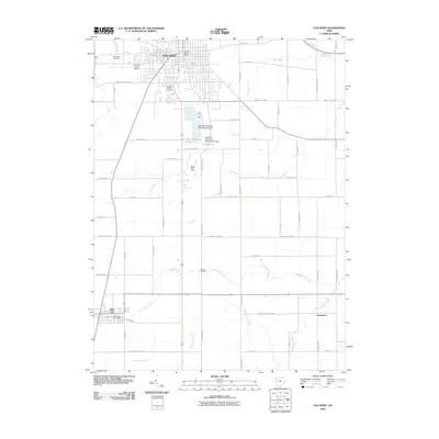
2010 Map of Van Wert
USGS Topo · Published 2010About this map
The city of Van Wert serves as the focal point of this Northwest Ohio landscape, which reveals a transition from municipal density to the extensive agrarian grids of Van Wert County. Significant local infrastructure includes the Van Wert County Airport and the Van Wert County Fairgrounds, alongside the specialized water management system of Van Wert Reservoir Number Two and Van Wert Reservoir Number One. These reservoirs, managed by the Van Wert Reservoir Number Two Dam and its counterpart, reflect the region's reliance on managed water resources for its growing population.
Find a feature on this map
60 named features on this map. Tap any name to fly to it.
Don’t see what you’re looking for? This feature index may not catch every label — zoom into the map to look around manually.
Map Details
Editions of this 2010 Van Wert Map
This is the sole edition of this map. No revisions or reprints were ever made.
Other maps of this area

1911 · Spencerville
USGS Topo · 1:62,500

1911 · Delphos
USGS Topo · 1:62,500

1914 · Celina
USGS Topo · 1:62,500

1914 · Van Wert
USGS Topo · 1:62,500

1944 · Delphos
USGS Topo · 1:62,500

1944 · Van Wert
USGS Topo · 1:62,500

1944 · Celina
USGS Topo · 1:62,500

1944 · Spencerville
USGS Topo · 1:62,500

1953 · Muncie
USGS Topo · 1:250,000

1956 · Muncie
USGS Topo · 1:250,000