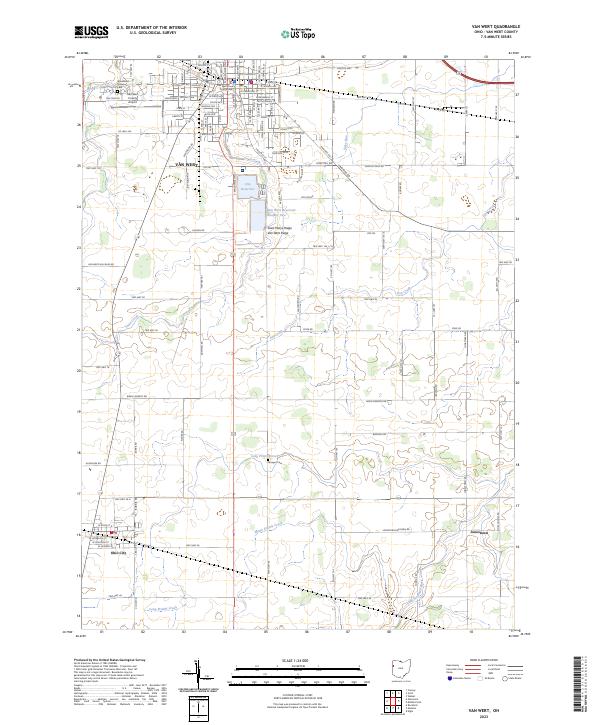
2023 Map of Van Wert
USGS Topo · Published 2023About this map
The Van Wert County Courthouse stands as the central landmark in the city of Van Wert, a community defined by its situation atop the Saint Marys Ridge and Van Wert Ridge. These subtle glacial features influenced the local drainage, with waters flowing into Town Creek and Maddox Creek in the north, while Long Prairie Creek and Mown Prairie Creek drain the southern agricultural lands toward the Little Auglaize River.
Find a feature on this map
44 named features on this map. Tap any name to fly to it.
Don’t see what you’re looking for? This feature index may not catch every label — zoom into the map to look around manually.
Map Details
Editions of this 2023 Van Wert Map
This is the sole edition of this map. No revisions or reprints were ever made.
Other maps of this area

1911 · Spencerville
USGS Topo · 1:62,500

1911 · Delphos
USGS Topo · 1:62,500

1914 · Celina
USGS Topo · 1:62,500

1914 · Van Wert
USGS Topo · 1:62,500

1944 · Delphos
USGS Topo · 1:62,500

1944 · Van Wert
USGS Topo · 1:62,500

1944 · Celina
USGS Topo · 1:62,500

1944 · Spencerville
USGS Topo · 1:62,500

1953 · Muncie
USGS Topo · 1:250,000

1956 · Muncie
USGS Topo · 1:250,000