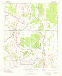
1967 Map of Vance
USGS Topo · Published 1968About this map
The meandering course of Cassidy Bayou dominates this Mississippi Delta landscape, defining the boundaries and agricultural patterns between Vance and Stover. The region is a dense network of small communities and family-named landmarks, such as Brazil (Stover PO) and Longstreet, connected by the Illinois Central railroad. This 1960s survey documents the deep-seated cultural landscape of Tallahatchie Co and Quitman Co, where spiritual and community life is anchored by numerous rural churches and burial grounds, including the Silent Shade Cem, Cem Morning Star Ch, and New Hope Ch.
Find a feature on this map
30 named features on this map. Tap any name to fly to it.
Don’t see what you’re looking for? This feature index may not catch every label — zoom into the map to look around manually.
Map Details
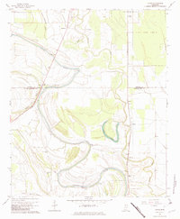
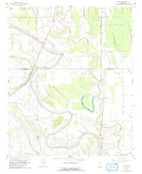
Editions of this 1967 Vance Map
3 editions found
Other maps of this area

1931 · Sumner
USGS Topo · 1:48,000

1932 · Philipp
USGS Topo · 1:48,000

1932 · Tutwiler
USGS Topo · 1:48,000

1935 · Crowder
USGS Topo · 1:62,500

1935 · Sumner
USGS Topo · 1:62,500

1935 · Tutwiler
USGS Topo · 1:62,500

1935 · Philipp
USGS Topo · 1:62,500

1939 · Sumner
USGS Topo · 1:62,500

1939 · Crowder
USGS Topo · 1:62,500

1939 · Philipp
USGS Topo · 1:62,500