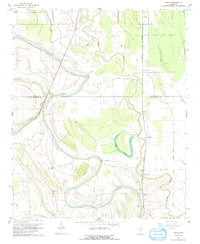
1967 Map of Vance
USGS Topo · Published 1991About this map
The winding course of Cassidy Bayou defines this Mississippi Delta landscape, where Quitman and Tallahatchie counties meet. In the mid-1960s, this region remained heavily focused on agriculture and rural community life, anchored by small settlements like Vance and Brazil. The map provides a detailed record of local genealogy and infrastructure, noting numerous country churches such as Morning Star Ch, New Salem Ch, and Macedonia Ch. To the north, an Indian Mound stands near Longstreet, while the eastern portion of the sheet is dominated by the State Penal Farm Camp B. The drainage patterns are intricate, featuring the oxbows of Suffer Brake and the Lower Quiver River. The Illinois Central railroad cuts a straight line through the alluvial plain, connecting these isolated Delta towns and serving as the primary corridor for commerce and transport.
Find a feature on this map
27 named features on this map. Tap any name to fly to it.
Don’t see what you’re looking for? This feature index may not catch every label — zoom into the map to look around manually.
Map Details
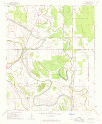
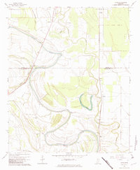
Editions of this 1967 Vance Map
3 editions found
Other maps of this area

1931 · Sumner
USGS Topo · 1:48,000

1932 · Philipp
USGS Topo · 1:48,000

1932 · Tutwiler
USGS Topo · 1:48,000

1935 · Crowder
USGS Topo · 1:62,500

1935 · Sumner
USGS Topo · 1:62,500

1935 · Tutwiler
USGS Topo · 1:62,500

1935 · Philipp
USGS Topo · 1:62,500

1939 · Sumner
USGS Topo · 1:62,500

1939 · Crowder
USGS Topo · 1:62,500

1939 · Philipp
USGS Topo · 1:62,500