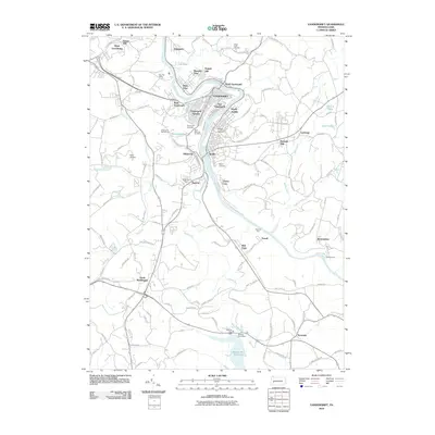
2010 Map of Vandergrift
USGS Topo · Published 2010About this map
The Kiskiminetas River carves a sharp, serpentine path through this portion of Westmoreland County, anchoring the industrial and residential development of Vandergrift and Apollo. This early 21st-century landscape is defined by its densely settled riverfront heights, including Vandergrift Heights and North Apollo, which contrast with the expansive Beaver Run Reservoir to the south. Local history and genealogy are well-represented by several established burial grounds, such as Saint Gertrude Cemetery and the Apollo Cemetery. The geography reflects a mix of suburban growth and utility, where aviation at the Kiski Airport and recreation at the Vandergrift Golf Course sit alongside essential infrastructure like the Gilkerson Dam. Smaller communities like Paulton, Oklahoma, and Truxall are connected by a network of winding roads that follow the ridges above the river valley.
Find a feature on this map
117 named features on this map. Tap any name to fly to it.
Don’t see what you’re looking for? This feature index may not catch every label — zoom into the map to look around manually.
Map Details
Editions of this 2010 Vandergrift Map
This is the sole edition of this map. No revisions or reprints were ever made.
Other maps of this area

1900 · Latrobe
USGS Topo · 1:62,500

1902 · Latrobe
USGS Topo · 1:62,500

1902 · Elders Ridge
USGS Topo · 1:62,500

1903 · Latrobe
USGS Topo · 1:62,500

1904 · Elders Ridge
USGS Topo · 1:62,500

1904 · Greensburg
USGS Topo · 1:62,500

1906 · Greensburg
USGS Topo · 1:62,500

1907 · Freeport
USGS Topo · 1:62,500

1909 · Freeport
USGS Topo · 1:62,500

1953 · Pittsburgh
USGS Topo · 1:250,000