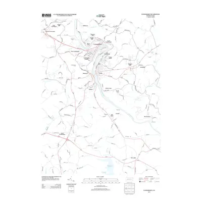
2013 Map of Vandergrift
USGS Topo · Published 2013About this map
The Kiskiminetas River carves a tight oxbow through this industrial corridor, framing the core of Vandergrift and its numerous residential extensions. This 2013 landscape reveals a dense network of neighborhoods including Kepple Hill, Oklahoma, and East Vandergrift, illustrating the post-industrial layout of Westmoreland County. The map shows the significant footprint of the Beaver Run Reservoir to the south, a major hydrological feature that contrasts with the tightly packed street grids of Apollo and North Apollo along the riverbanks.
Find a feature on this map
157 named features on this map. Tap any name to fly to it.
Don’t see what you’re looking for? This feature index may not catch every label — zoom into the map to look around manually.
Map Details
Editions of this 2013 Vandergrift Map
This is the sole edition of this map. No revisions or reprints were ever made.
Other maps of this area

1900 · Latrobe
USGS Topo · 1:62,500

1902 · Latrobe
USGS Topo · 1:62,500

1902 · Elders Ridge
USGS Topo · 1:62,500

1903 · Latrobe
USGS Topo · 1:62,500

1904 · Elders Ridge
USGS Topo · 1:62,500

1904 · Greensburg
USGS Topo · 1:62,500

1906 · Greensburg
USGS Topo · 1:62,500

1907 · Freeport
USGS Topo · 1:62,500

1909 · Freeport
USGS Topo · 1:62,500

1953 · Pittsburgh
USGS Topo · 1:250,000