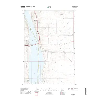
2020 Map of Vantage
USGS Topo · Published 2020About this map
Wanapum Lake and the Columbia River dominate this modern landscape, marking the boundary between Kittitas and Grant counties. The small settlement of Vantage serves as a critical crossing point, where major transit corridors intersect the waterway. The surrounding terrain is defined by dramatic geological formations, from the elevated Babcock Bench to the north to the Frenchman Hills in the northeast.
Find a feature on this map
28 named features on this map. Tap any name to fly to it.
Don’t see what you’re looking for? This feature index may not catch every label — zoom into the map to look around manually.
Map Details
Editions of this 2020 Vantage Map
This is the sole edition of this map. No revisions or reprints were ever made.
Other maps of this area

1909 · Quincy
USGS Topo · 1:62,500

1910 · Quincy
USGS Topo · 1:62,500

1912 · Beverly
USGS Topo · 1:62,500

1920 · Colockum Pass
USGS Topo · 1:125,000

1922 · Colockum Pass
USGS Topo · 1:125,000

1939 · Boylston
USGS Topo · 1:48,000

1943 · Boylston
USGS Topo · 1:62,500

1950 · Yakima
USGS Topo · 1:250,000

1953 · Ginkgo
USGS Topo · 1:24,000
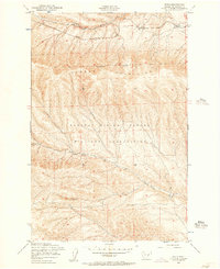
1953 · Doris
USGS Topo · 1:24,000