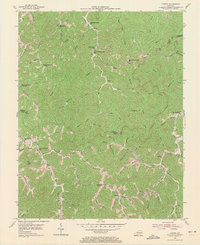
1954 Map of Varney
USGS Topo · Published 1971About this map
Deeply incised valleys and narrow ridges define this section of the Kentucky coalfields in the early 1950s, where small settlements and a dense network of country schools follow the winding path of numerous forks and branches. At the intersection of Rockhouse Fork and Mud Lick Fork, the landscape is dotted with family-named landmarks and institutions like the Dunkard Ch and Pauley Sch. The mapping recorded during this 1954 field check shows a rural society heavily reliant on the topography, with roads like Martin Pike hugging the valley floors and creek beds.
Find a feature on this map
77 named features on this map. Tap any name to fly to it.
Don’t see what you’re looking for? This feature index may not catch every label — zoom into the map to look around manually.
Map Details
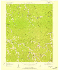
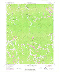
Editions of this 1954 Varney Map
Other maps of this area

1886 · Prestonsburg
USGS Topo · 1:125,000

1887 · Warfield
USGS Topo · 1:125,000

1891 · Warfield
USGS Topo · 1:125,000

1892 · Prestonsburg
USGS Topo · 1:125,000

1910 · Naugatuck
USGS Topo · 1:48,000

1912 · Naugatuck
USGS Topo · 1:62,500

1914 · Laynesville
USGS Topo · 1:48,000

1914 · Inez
USGS Topo · 1:48,000

1915 · Williamson
USGS Topo · 1:48,000

1915 · Naugatuck
USGS Topo · 1:48,000