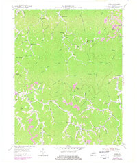
1954 Map of Varney
USGS Topo · Published 1978About this map
The steep hollows of Pike Co and Martin Co are documented here in the mid-1950s, revealing a landscape defined by small-scale coal extraction and narrow creek-side settlements. Small mountain schools serve as local landmarks for families living along the water, including the Mouth of Caney Fork Sch and the Hurricane on Brushy Sch. Local spiritual life is centered at the Apple Orchard Ch and Wolf Creek Ch, while several family plots like Caney Cem and Francis Cem dot the hillsides. Significant revisions from the 1970s appear in purple, highlighting the expansion of extensive Strip Mines and Mines that began to reshape the ridges near Martin Co. This later surveying data provides a crucial look at how industrial mining activity moved through the forks of Wolf Cr and Big Creek, altering the traditional topography near communities like Varney and Heenon.
Find a feature on this map
85 named features on this map. Tap any name to fly to it.
Don’t see what you’re looking for? This feature index may not catch every label — zoom into the map to look around manually.
Map Details
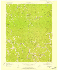
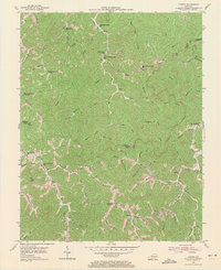
Editions of this 1954 Varney Map
Other maps of this area

1886 · Prestonsburg
USGS Topo · 1:125,000

1887 · Warfield
USGS Topo · 1:125,000

1891 · Warfield
USGS Topo · 1:125,000

1892 · Prestonsburg
USGS Topo · 1:125,000

1910 · Naugatuck
USGS Topo · 1:48,000

1912 · Naugatuck
USGS Topo · 1:62,500

1914 · Laynesville
USGS Topo · 1:48,000

1914 · Inez
USGS Topo · 1:48,000

1915 · Williamson
USGS Topo · 1:48,000

1915 · Naugatuck
USGS Topo · 1:48,000