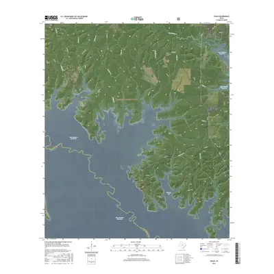
2016 Map of Veach
USGS Topo · Published 2016About this map
The Sam Rayburn Reservoir dominates this East Texas landscape, where the waters of the Neches River system have transformed the local topography into a complex network of bays and basins. Within the Angelina National Forest, the map reveals how the modern shoreline intersects with older terrestrial landmarks. High ground remains home to the settlement of Veach and several family burial sites, including Williams Cem, Lucas Cem, and Coleman Cem, which provide essential points of reference for genealogists. The intricate drainage patterns of Couchatana Cr, Parker Cr, and Owl Cr feed into the expansive Veach Basin and Coleman Bay, illustrating the transition from wooded creek bottoms to open water. This 2016 survey is particularly useful for identifying the precise locations where historic roads like Old FM 705 and FM 3173 meet the shifting boundaries of San Augustine and Angelina counties.
Find a feature on this map
34 named features on this map. Tap any name to fly to it.
Don’t see what you’re looking for? This feature index may not catch every label — zoom into the map to look around manually.
Map Details
Editions of this 2016 Veach Map
This is the sole edition of this map. No revisions or reprints were ever made.
Other maps of this area

1931 · Zavalla
USGS Topo · 1:62,500

1953 · Palestine
USGS Topo · 1:250,000

1957 · Palestine
USGS Topo · 1:250,000

1958 · Zavalla
USGS Topo · 1:62,500

1958 · Broaddus
USGS Topo · 1:62,500

1958 · Mc Gee Bend
USGS Topo · 1:62,500

1958 · Bronson
USGS Topo · 1:62,500
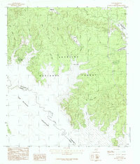
1984 · Veach
USGS Topo · 1:24,000
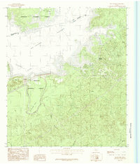
1984 · McGee Bend
USGS Topo · 1:24,000
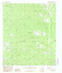
1984 · Harvey Creek
USGS Topo · 1:24,000