
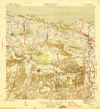
1946 Map of Vega Alta
USGS Topo · Published 1946About this map
Sugar production and rail transport define this coastal landscape as it stood in the mid-1940s, anchored by industrial hubs like Central San Vicente, Central Carmen, and Central Constancia. The American Railroad traverses the northern corridor, connecting several transit points including Estación San Vicente, Estación Dorado, and Estación Toa Baja. These lines were essential for moving the sugar harvest from the inland barrios of Bajura and Espinosa toward the coast.
Find a feature on this map
75 named features on this map. Tap any name to fly to it.
Don’t see what you’re looking for? This feature index may not catch every label — zoom into the map to look around manually.
Map Details
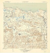
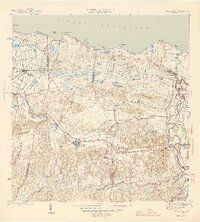
Editions of this 1946 Vega Alta Map
4 editions found
Other maps of this area

1940 · Vega Alta
USGS Topo · 1:30,000

1941 · Bayamon
USGS Topo · 1:30,000

1942 · Manati
USGS Topo · 1:30,000

1946 · Corozal
USGS Topo · 1:30,000

1946 · Ciales
USGS Topo · 1:30,000

1946 · Naranjito
USGS Topo · 1:30,000

1946 · Manati
USGS Topo · 1:30,000

1947 · Corozal NO
USGS Topo · 1:10,000
1947 · Corozal NE
USGS Topo · 1:10,000

1947 · Bayamon
USGS Topo · 1:30,000