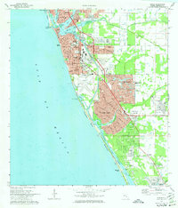
1973 Map of Venice
USGS Topo · Published 1974About this map
The Intracoastal Waterway carves a straight path behind the barrier islands of Casey Key and Manasota Key, defining the coastal geography of Sarasota County during the early 1970s. The city of Venice serves as the central hub, showing significant residential expansion into South Venice and Venice Gardens as the region transitioned from a quiet coastal stretch to a more densely populated suburban corridor.
Find a feature on this map
54 named features on this map. Tap any name to fly to it.
Don’t see what you’re looking for? This feature index may not catch every label — zoom into the map to look around manually.
Map Details
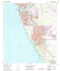
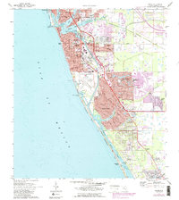
Editions of this 1973 Venice Map
3 editions found
Other maps of this area

1943 · Laurel
USGS Topo · 1:24,000

1944 · Bird Keys
USGS Topo · 1:31,680

1944 · Lower Myakka Lake
USGS Topo · 1:31,680

1944 · Myakka River
USGS Topo · 1:31,680

1944 · Laurel
USGS Topo · 1:31,680

1944 · Venice
USGS Topo · 1:31,680

1956 · Englewood
USGS Topo · 1:24,000

1956 · Tampa
USGS Topo · 1:250,000

1956 · Charlotte Harbor
USGS Topo · 1:250,000

1957 · Englewood NW
USGS Topo · 1:24,000