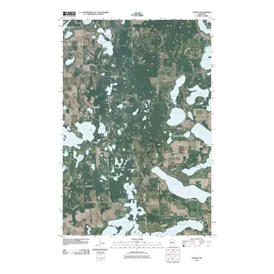
2010 Map of Vergas
USGS Topo · Published 2010About this map
Vergas serves as the central hub of this lake-strewn landscape in the early 21st century, positioned near the junction of several regional routes. The map reveals a high concentration of recreational and residential development concentrated around the water, including the Heisler Manufactured Home Park and numerous seasonal hubs like Cozy Corner Campground and Loon Lake Resort and Campground.
Find a feature on this map
85 named features on this map. Tap any name to fly to it.
Don’t see what you’re looking for? This feature index may not catch every label — zoom into the map to look around manually.
Map Details
Editions of this 2010 Vergas Map
This is the sole edition of this map. No revisions or reprints were ever made.
Other maps of this area

1912 · Vergas
USGS Topo · 1:62,500

1915 · Perham
USGS Topo · 1:62,500

1915 · Vergas
USGS Topo · 1:62,500

1953 · Brainerd
USGS Topo · 1:250,000

1957 · Brainerd
USGS Topo · 1:250,000

1958 · Brainerd
USGS Topo · 1:250,000

1959 · Rochert
USGS Topo · 1:24,000
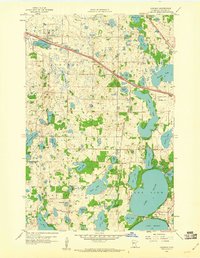
1959 · Audubon
USGS Topo · 1:24,000
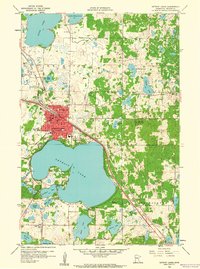
1959 · Detroit Lakes
USGS Topo · 1:24,000

1965 · Brainerd
USGS Topo · 1:250,000