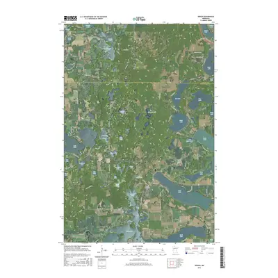
2016 Map of Vergas
USGS Topo · Published 2016About this map
Vergas serves as the central hub of this lake-dotted landscape along the border of Becker Co and Otter Tail Co. The area is characterized by an exceptionally dense concentration of glacial lakes, ranging from the large expanses of Long Lake and Rose Lake to smaller basins like Scalp Lake, Candor Lake, and Nottage Lake. This 2016 survey documents a well-distributed network of local roads such as Jolly Fisherman Rd and Sybil Shores Dr that provide access to the numerous shorelines.
Find a feature on this map
77 named features on this map. Tap any name to fly to it.
Don’t see what you’re looking for? This feature index may not catch every label — zoom into the map to look around manually.
Map Details
Editions of this 2016 Vergas Map
This is the sole edition of this map. No revisions or reprints were ever made.
Other maps of this area

1912 · Vergas
USGS Topo · 1:62,500

1915 · Perham
USGS Topo · 1:62,500

1915 · Vergas
USGS Topo · 1:62,500

1953 · Brainerd
USGS Topo · 1:250,000

1957 · Brainerd
USGS Topo · 1:250,000

1958 · Brainerd
USGS Topo · 1:250,000

1959 · Rochert
USGS Topo · 1:24,000
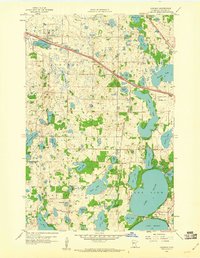
1959 · Audubon
USGS Topo · 1:24,000
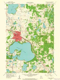
1959 · Detroit Lakes
USGS Topo · 1:24,000

1965 · Brainerd
USGS Topo · 1:250,000