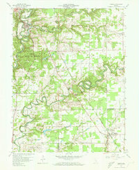
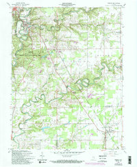
1959 Map of Vernon
USGS Topo · Published 1960About this map
The winding North Fork Muscatatuck River and its southern fork define the topography of this Indiana landscape, where deep river loops create a complex series of ridges and valleys. Vernon and North Vernon stand at the heart of this network, positioned near the dramatic bends that now house Muscatatuck State Park. The region's transport history is clearly visible through the diagonal path of the Pennsylvania railroad, which links the settlements of Grayford, Walnut Ridge, and Dupont. Local life in the late 1950s is anchored by rural landmarks such as Freedom Ch, Graham Ch, and a Covered Bridge crossing the river south of Vernon. Large protected areas, including the Crosley State Game Preserve and its namesake Crosley Lake, dominate the central terrain, while family history is preserved at the Douchette Cem and Vernon Cem.
Find a feature on this map
33 named features on this map. Tap any name to fly to it.
Don’t see what you’re looking for? This feature index may not catch every label — zoom into the map to look around manually.
Map Details
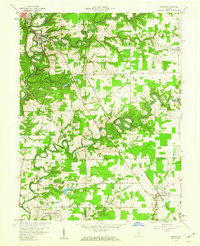
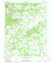
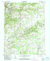
Editions of this 1959 Vernon Map
5 editions found
Other maps of this area

1942 · Columbus
USGS Topo · 1:125,000

1953 · Cincinnati
USGS Topo · 1:250,000

1956 · Volga
USGS Topo · 1:24,000

1956 · Deputy
USGS Topo · 1:24,000

1956 · Clifty Falls
USGS Topo · 1:24,000

1956 · Louisville
USGS Topo · 1:250,000

1957 · Cincinnati
USGS Topo · 1:250,000

1957 · Butlerville
USGS Topo · 1:24,000

1957 · North Vernon
USGS Topo · 1:24,000

1959 · Holton
USGS Topo · 1:24,000