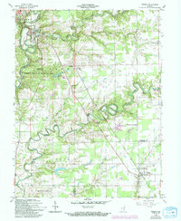
1959 Map of Vernon
USGS Topo · Published 1994About this map
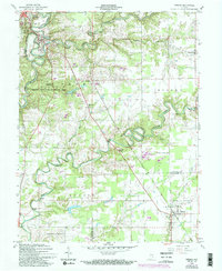
The Vernon loop of the Muscatatuck River serves as the focal point for this mid-century topographic record of Jennings and Jefferson counties. The landscape is defined by the sharp meanders of the Vernon Fork and Graham Creek, where steep embankments contrast with the surrounding agricultural tablelands. The map highlights the sprawling Crosley State Fish and Wildlife Area and Muscatatuck County Park, suggesting a regional emphasis on conservation and recreation during this period. Local heritage is preserved through the locations of rural congregations and burial grounds, including the Freedom Ch, Rush Branch Ch, and Hopewell Cem. Transportation infrastructure is notable for its variety, ranging from the Broomsage Ranch Airport to a classic Covered Bridge spanning the river near the county seat, illustrating the layers of modern and traditional transit in rural Indiana.
Find a feature on this map
35 named features on this map. Tap any name to fly to it.
Don’t see what you’re looking for? This feature index may not catch every label — zoom into the map to look around manually.
Map Details
Editions of this 1959 Vernon Map
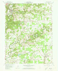
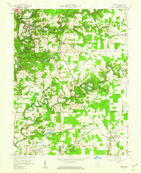
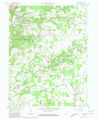
5 editions found
Other maps of this area

1942 · Columbus
USGS Topo · 1:125,000

1953 · Cincinnati
USGS Topo · 1:250,000

1956 · Volga
USGS Topo · 1:24,000

1956 · Deputy
USGS Topo · 1:24,000

1956 · Clifty Falls
USGS Topo · 1:24,000

1956 · Louisville
USGS Topo · 1:250,000

1957 · Cincinnati
USGS Topo · 1:250,000

1957 · Butlerville
USGS Topo · 1:24,000

1957 · North Vernon
USGS Topo · 1:24,000

1959 · Holton
USGS Topo · 1:24,000