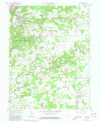
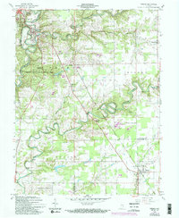
1959 Map of Vernon
USGS Topo · Published 1981About this map
The Vernon Fork Muscatatuck River winds through the heart of Jennings County, anchoring a landscape defined by the tight bends of Graham Creek and Otter Creek. This 1959 survey, updated with revisions from 1978, illustrates the relationship between the historic settlements of Vernon and North Vernon and their surrounding natural resources, including the expansive Crosley State Fish and Wildlife Area. A covered bridge and a lookout tower near Muscatatuck State Park highlight the area's recreational and navigational landmarks.
Find a feature on this map
38 named features on this map. Tap any name to fly to it.
Don’t see what you’re looking for? This feature index may not catch every label — zoom into the map to look around manually.
Map Details
Editions of this 1959 Vernon Map
5 editions found
Other maps of this area

1942 · Columbus
USGS Topo · 1:125,000

1953 · Cincinnati
USGS Topo · 1:250,000

1956 · Volga
USGS Topo · 1:24,000

1956 · Deputy
USGS Topo · 1:24,000

1956 · Clifty Falls
USGS Topo · 1:24,000

1956 · Louisville
USGS Topo · 1:250,000

1957 · Cincinnati
USGS Topo · 1:250,000

1957 · Butlerville
USGS Topo · 1:24,000

1957 · North Vernon
USGS Topo · 1:24,000

1959 · Holton
USGS Topo · 1:24,000