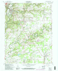
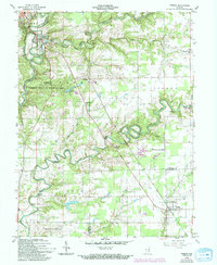
1959 Map of Vernon
USGS Topo · Published 1994About this map
The Vernon Fork of the Muscatatuck River carves a winding path through this portion of Jennings County, framing the historical layout of Vernon and North Vernon. This mid-century landscape is defined by its deep river bends and the intersection of major rail lines, including the Baltimore and Ohio and Pennsylvania railroads. Significant public lands such as the Crosley State Fish and Wildlife Area and Muscatatuck County Park occupy large tracts, while smaller agrarian settlements like Grayford and Dupont are scattered along the rural road network. Genealogists will find several burial grounds and houses of worship preserved here, including Vernon Cem, Baldwin Cem, and Freedom Ch. The presence of a Covered Bridge near the river fork highlights the traditional infrastructure that persisted alongside modern additions like the Broomsage Ranch Airport.
Find a feature on this map
34 named features on this map. Tap any name to fly to it.
Don’t see what you’re looking for? This feature index may not catch every label — zoom into the map to look around manually.
Map Details
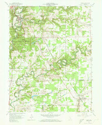
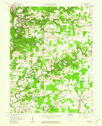
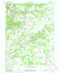
Editions of this 1959 Vernon Map
5 editions found
Other maps of this area

1942 · Columbus
USGS Topo · 1:125,000

1953 · Cincinnati
USGS Topo · 1:250,000

1956 · Volga
USGS Topo · 1:24,000

1956 · Deputy
USGS Topo · 1:24,000

1956 · Clifty Falls
USGS Topo · 1:24,000

1956 · Louisville
USGS Topo · 1:250,000

1957 · Cincinnati
USGS Topo · 1:250,000

1957 · Butlerville
USGS Topo · 1:24,000

1957 · North Vernon
USGS Topo · 1:24,000

1959 · Holton
USGS Topo · 1:24,000