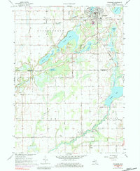
1967 Map of Vicksburg
USGS Topo · Published 1984About this map
Vicksburg serves as the primary hub in this survey, situated at the intersection of the Grand Trunk Western and Penn Central railroads. The landscape is defined by an intricate network of glacial lakes and wetlands, including the sprawling Barton Lake and Sunset Lake. This mid-century view captures a rural economy transitioning between agriculture and light industry, evidenced by numerous Gravel Pits and Marl Pits scattered near the rail lines. Further south, the community of Parkville sits along the Portage River, surrounded by family-history landmarks like the Parkville Cem and West Mendon Ch. The presence of small rural schoolhouses like Prairie Grove Sch and Center Park Ch provides a look at the distributed social centers of the era before full consolidation.
Find a feature on this map
59 named features on this map. Tap any name to fly to it.
Don’t see what you’re looking for? This feature index may not catch every label — zoom into the map to look around manually.
Map Details
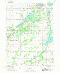
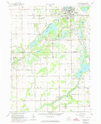
Editions of this 1967 Vicksburg Map
3 editions found
Other maps of this area

1914 · Three Rivers
USGS Topo · 1:62,500

1916 · Three Rivers
USGS Topo · 1:62,500

1918 · Leonidas
USGS Topo · 1:62,500

1922 · Schoolcraft
USGS Topo · 1:62,500

1943 · Three Rivers
USGS Topo · 1:62,500

1943 · Schoolcraft
USGS Topo · 1:62,500

1944 · Leonidas
USGS Topo · 1:62,500

1947 · Leonidas
USGS Topo · 1:62,500

1950 · Leonidas
USGS Topo · 1:62,500

1953 · Fort Wayne
USGS Topo · 1:250,000