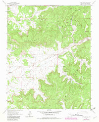
1963 Map of Vigas Canyon
USGS Topo · Published 1983About this map
The Jicarilla Apache Indian Reservation and Carson National Forest converge across this rugged New Mexico landscape, dominated by high mesas and deep-cut canyons. The 1960s terrain is heavily marked by the energy industry, with numerous Gas Wells and an expansive Gas Field established amidst the topography of Tuckers Ridge and Cereza Mesa. These industrial markers reflect a mid-century period of resource extraction that reshaped the remote high desert.
Find a feature on this map
29 named features on this map. Tap any name to fly to it.
Don’t see what you’re looking for? This feature index may not catch every label — zoom into the map to look around manually.
Map Details
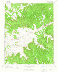
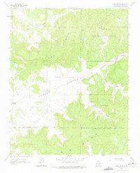
Editions of this 1963 Vigas Canyon Map
3 editions found
Other maps of this area

1889 · Largo
USGS Topo · 1:250,000

1895 · Largo
USGS Topo · 1:250,000

1954 · Aztec
USGS Topo · 1:250,000

1958 · Aztec
USGS Topo · 1:250,000

1962 · Aztec
USGS Topo · 1:250,000

1963 · Lapis Point
USGS Topo · 1:24,000

1963 · Schmitz Ranch
USGS Topo · 1:24,000

1963 · Fourmile Canyon
USGS Topo · 1:24,000

1963 · Gobernador
USGS Topo · 1:24,000

1963 · Gonzales Mesa
USGS Topo · 1:24,000