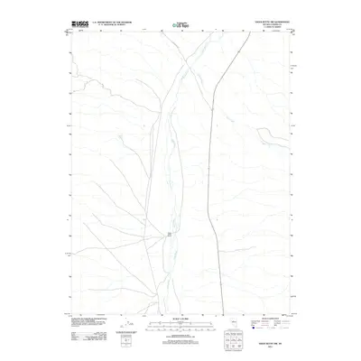
2011 Map of Vigus Butte NW
USGS Topo · Published 2011About this map
The Reese River valley defines this high-desert landscape in central Nevada, where the watercourse winds through a broad, flat basin typical of the Great Basin region. This 2011 survey captures the area near the White House Ranch, a significant landmark of human activity in an otherwise sparse and arid environment. To the east, the drainage of Silver Creek cuts across the terrain, converging toward the main river channel. The map also records localized water sources such as Garden Spring and the track of Ravenswood to the north. These features represent the critical relationship between reliable water and settlement in the high desert, where ranching and local travel depend on the few perennial streams and springs that punctuate the landscape.
Find a feature on this map
5 named features on this map. Tap any name to fly to it.
Don’t see what you’re looking for? This feature index may not catch every label — zoom into the map to look around manually.
Map Details
Editions of this 2011 Vigus Butte NW Map
This is the sole edition of this map. No revisions or reprints were ever made.
Other maps of this area

1955 · Millett
USGS Topo · 1:250,000

1959 · Millett
USGS Topo · 1:250,000

1969 · Manhattan Mtn
USGS Topo · 1:24,000

1969 · Gilbert Creek SE
USGS Topo · 1:24,000

1969 · Joe Eason Mtn
USGS Topo · 1:24,000

1969 · Yankee Blade
USGS Topo · 1:24,000

1969 · Vigus Butte NE
USGS Topo · 1:24,000

1969 · Vigus Butte
USGS Topo · 1:24,000

1969 · Vigus Butte NW
USGS Topo · 1:24,000

1969 · Mount Airy NE
USGS Topo · 1:24,000