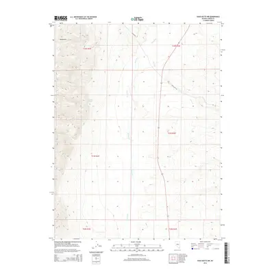
2014 Map of Vigus Butte NW
USGS Topo · Published 2014About this map
Ravenswood defines the northwestern high ground of this landscape in Lander County, overlooking the broad basin where the Reese River flows northward. This 2014 survey documents the hydrography of the Great Basin, tracing the ephemeral courses of Silver Cr and the location of Garden Spring against the sharp elevation changes of the neighboring ranges. The map is largely structured by the Public Land Survey System, showing the township boundaries of T22N R42E and T21N R43E, which define the vast stretches of open land. Human infrastructure is sparse here, primarily represented by Silver Creek Rd, which cuts across the drainage patterns of the valley floor.
Find a feature on this map
11 named features on this map. Tap any name to fly to it.
Don’t see what you’re looking for? This feature index may not catch every label — zoom into the map to look around manually.
Map Details
Editions of this 2014 Vigus Butte NW Map
This is the sole edition of this map. No revisions or reprints were ever made.
Other maps of this area

1955 · Millett
USGS Topo · 1:250,000

1959 · Millett
USGS Topo · 1:250,000

1969 · Manhattan Mtn
USGS Topo · 1:24,000

1969 · Gilbert Creek SE
USGS Topo · 1:24,000

1969 · Joe Eason Mtn
USGS Topo · 1:24,000

1969 · Yankee Blade
USGS Topo · 1:24,000

1969 · Vigus Butte NE
USGS Topo · 1:24,000

1969 · Vigus Butte
USGS Topo · 1:24,000

1969 · Vigus Butte NW
USGS Topo · 1:24,000

1969 · Mount Airy NE
USGS Topo · 1:24,000