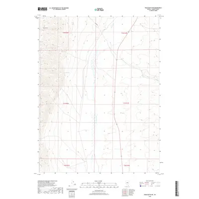
2018 Map of Vigus Butte NW
USGS Topo · Published 2018About this map
Ravenswood sits on the western flank of this high desert terrain, overlooking a broad valley defined by the seasonal flow of the Reese River. This 2018 survey illustrates the complex water management of the Great Basin, where intermittent streams like Silver Cr descend from the upland slopes to meet the river's path. The landscape is marked by the distinct absence of concentrated town centers, instead showing a territory partitioned into public land sections such as t22n r42e and t21n r43e. Rare water sources like Garden Spring provide critical landmarks in a region defined more by its topography and Bureau of Land Management boundaries than by permanent infrastructure.
Find a feature on this map
10 named features on this map. Tap any name to fly to it.
Don’t see what you’re looking for? This feature index may not catch every label — zoom into the map to look around manually.
Map Details
Editions of this 2018 Vigus Butte NW Map
This is the sole edition of this map. No revisions or reprints were ever made.
Other maps of this area

1955 · Millett
USGS Topo · 1:250,000

1959 · Millett
USGS Topo · 1:250,000

1969 · Manhattan Mtn
USGS Topo · 1:24,000

1969 · Gilbert Creek SE
USGS Topo · 1:24,000

1969 · Joe Eason Mtn
USGS Topo · 1:24,000

1969 · Yankee Blade
USGS Topo · 1:24,000

1969 · Vigus Butte NE
USGS Topo · 1:24,000

1969 · Vigus Butte
USGS Topo · 1:24,000

1969 · Vigus Butte NW
USGS Topo · 1:24,000

1969 · Mount Airy NE
USGS Topo · 1:24,000