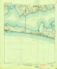
1938 Map of Villa Tasso
USGS Topo · Published 1944About this map
Choctawhatchee Bay separates the coastal dunes of the Florida Panhandle from the interior settlements of the late 1930s. Along the northern shore, the community of Villa Tasso is established near Stake Pt, while Valparaiso sits tucked between Boggy Bayou and Rocky Bayou. The landscape is defined by its intricate shoreline of secondary bayous, including Hogtown Bayou and Mussett Bayou, which reach into the pine-covered lowlands. To the south, the narrow peninsula hosting the Moreno Point Military Reservation contains a string of coastal lakes like Pippin Lake, Campbell Lake, and Horseshoe Lake, many of which sit just inland from the Gulf of Mexico. This survey, conducted by W.C. Thompson and J.W. Pumpelly, captures the region before the extensive modern developments that would later transform this stretch of the Emerald Coast.
Find a feature on this map
40 named features on this map. Tap any name to fly to it.
Don’t see what you’re looking for? This feature index may not catch every label — zoom into the map to look around manually.
Map Details
Editions of this 1938 Villa Tasso Map
4 editions found
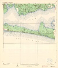
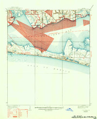
Other maps of this area

1934 · Holt
USGS Topo · 1:48,000

1934 · Niceville
USGS Topo · 1:48,000

1935 · Villa Tasso
USGS Topo · 1:48,000

1935 · De Funiak Springs
USGS Topo · 1:48,000

1936 · Niceville
USGS Topo · 1:62,500

1936 · Point Washington
USGS Topo · 1:48,000

1937 · Holt
USGS Topo · 1:62,500

1938 · Mary Esther
USGS Topo · 1:62,500

1938 · Villa Tasso
USGS Topo · 1:62,500

1938 · De Funiak Springs
USGS Topo · 1:62,500