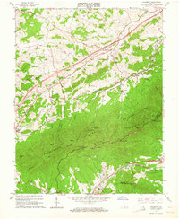
1963 Map of Villamont
USGS Topo · Published 1964About this map
The Jefferson National Forest dominates the southern half of this landscape, where the Blue Ridge rises toward summits like Grindstone Knob and Flattop. This mid-century survey records a transition between the wilder forest terrain and the agricultural valleys to the north, anchored by the town of Fincastle and the transport corridor through Troutville. The Norfolk and Western railroad winds through the lowlands, serving rural stops like Blue Ridge Station and Nace.
Find a feature on this map
49 named features on this map. Tap any name to fly to it.
Don’t see what you’re looking for? This feature index may not catch every label — zoom into the map to look around manually.
Map Details
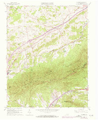
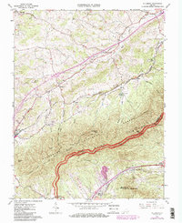
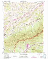
Editions of this 1963 Villamont Map
4 editions found
Other maps of this area

1890 · Roanoke
USGS Topo · 1:125,000

1891 · Roanoke
USGS Topo · 1:125,000

1894 · Natural Bridge
USGS Topo · 1:125,000

1894 · Natural Bridge
USGS Topo · 1:62,500

1907 · Natural Bridge Special
USGS Topo · 1:62,500

1913 · Eagle Rock
USGS Topo · 1:48,000

1915 · Eagle Rock
USGS Topo · 1:62,500

1929 · Roanoke
USGS Topo · 1:48,000

1933 · Roanoke
USGS Topo · 1:62,500

1947 · Roanoke
USGS Topo · 1:250,000