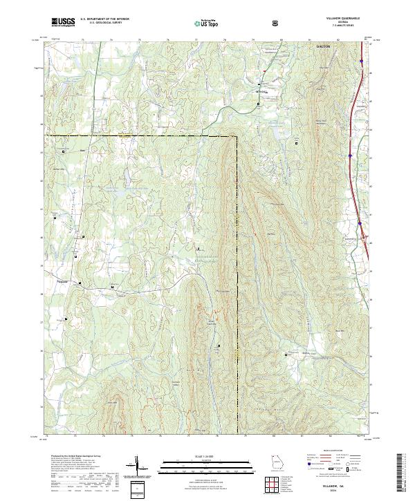
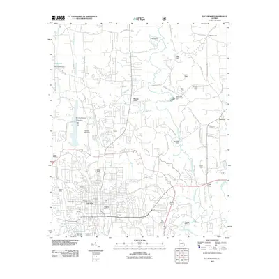
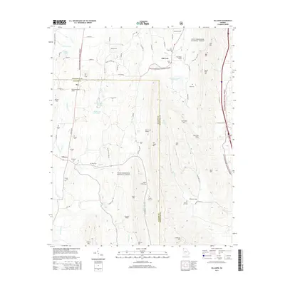
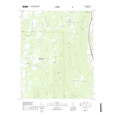
2024 Map of Villanow
USGS Topo · Published 2024About this map
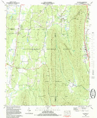
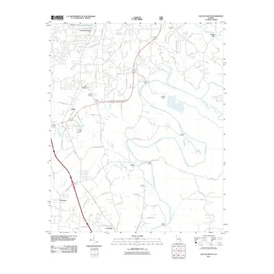
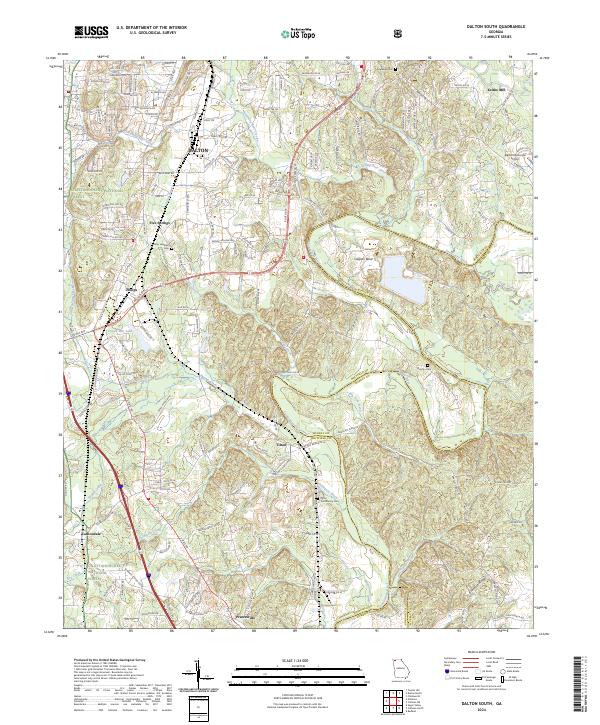
Villanow and the surrounding reaches of the Chattahoochee National Forest define this 2024 landscape along the boundary of Walker and Whitfield Counties. The area is characterized by prominent ridges and deep valleys, including the heights of Rocky Face Mountain and Johns Mtn. For genealogists, the map provides precise locations for numerous small burial grounds such as the Strain Family Cem, Macedonia Cem, and Redwine Cove Cem.
Find a feature on this map
93 named features on this map. Tap any name to fly to it.
Don’t see what you’re looking for? This feature index may not catch every label — zoom into the map to look around manually.
Map Details
Editions of this 2024 Villanow Map
This is the sole edition of this map. No revisions or reprints were ever made.
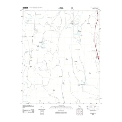
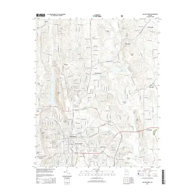
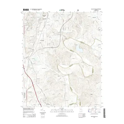
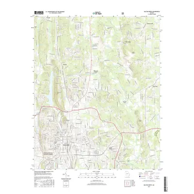
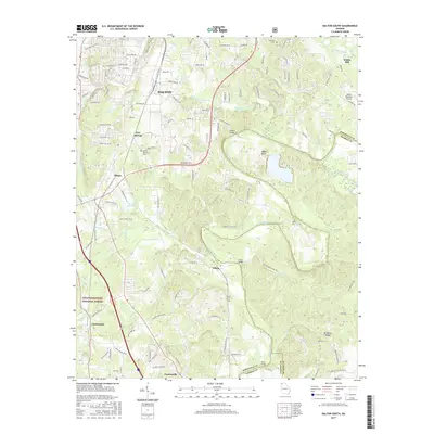
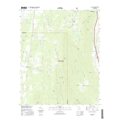
Historical Maps of Dalton Through Time
22 maps found
1935 Tiger Creek
Whitfield County, GA
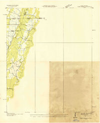
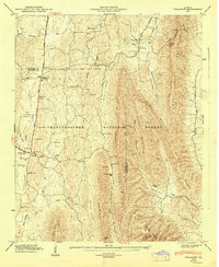
1935 Villanow
Whitfield County, GA
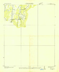
1946 Villanow
Whitfield County, GA
1947 Villanow
Whitfield County, GA

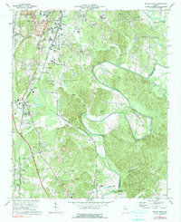
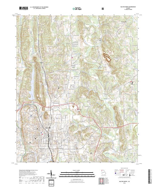
1972 Dalton North
Whitfield County, GA
1972 Dalton South
Whitfield County, GA
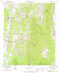
1983 Villanow
Whitfield County, GA
2011 Dalton North
Whitfield County, GA
2011 Dalton South
Whitfield County, GA
2011 Villanow
Whitfield County, GA
2014 Dalton North
Whitfield County, GA
2014 Dalton South
Whitfield County, GA
2014 Villanow
Whitfield County, GA
2017 Dalton North
Whitfield County, GA
2017 Dalton South
Whitfield County, GA
2017 Villanow
Whitfield County, GA
2020 Dalton North
Whitfield County, GA
2020 Dalton South
Whitfield County, GA
2020 Villanow
Whitfield County, GA
2024 Dalton North
Whitfield County, GA
2024 Dalton South
Whitfield County, GA
2024 Villanow
Whitfield County, GA