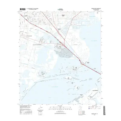
2016 Map of Virginia Point
USGS Topo · Published 2016About this map
Virginia Point serves as the critical gateway where the Galveston Causeway connects the Texas mainland to Galveston across the waters of West Bay and the Intracoastal Waterway. This coastal landscape is defined by its complex hydrology and transportation infrastructure, featuring the industrial hubs of Texas City and La Marque alongside residential developments like Tiki Island and Bayou Vista. The map documents the intricate rail and road networks essential to the region, including Texas City Junction and Texas City Terminal Junction, which facilitate movement between the port and the interior.
Find a feature on this map
39 named features on this map. Tap any name to fly to it.
Don’t see what you’re looking for? This feature index may not catch every label — zoom into the map to look around manually.
Map Details
Editions of this 2016 Virginia Point Map
This is the sole edition of this map. No revisions or reprints were ever made.
Other maps of this area

1929 · Dickinson
USGS Topo · 1:24,000

1929 · Karankawa Lake
USGS Topo · 1:24,000

1929 · Hitchcock
USGS Topo · 1:24,000

1929 · Virginia Point
USGS Topo · 1:24,000

1929 · Texas City
USGS Topo · 1:24,000

1930 · Galveston
USGS Topo · 1:24,000

1931 · Lake Como
USGS Topo · 1:24,000

1932 · Dickinson
USGS Topo · 1:31,680

1932 · Texas City
USGS Topo · 1:31,680

1932 · Bolivar Point
USGS Topo · 1:24,000