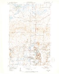
1951 Map of Virginia
USGS Topo · Published 1952About this map
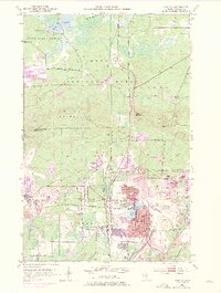
Virginia and Mountain Iron serve as the industrial anchors of this early 1950s survey, illustrating the intensive iron ore extraction that defined the Mesabi Range. The landscape is a dense network of massive excavations and supporting infrastructure, featuring the Wacootah Mine, Alpena Mine, and the Minorca Mine. This industrial footprint is intertwined with civic life, shown through established residential areas like Franklin and Parkville, alongside several local schools including Horace Mann Sch and Washington Sch.
Find a feature on this map
49 named features on this map. Tap any name to fly to it.
Don’t see what you’re looking for? This feature index may not catch every label — zoom into the map to look around manually.
Map Details
Editions of this 1951 Virginia Map
9 editions found
Other maps of this area

1950 · Mc Kinley
USGS Topo · 1:24,000

1950 · Biwabik NW
USGS Topo · 1:24,000

1951 · Mc Kinley
USGS Topo · 1:24,000

1951 · Biwabik NW
USGS Topo · 1:24,000

1951 · Gilbert
USGS Topo · 1:24,000

1951 · Eveleth
USGS Topo · 1:24,000

1951 · Virginia
USGS Topo · 1:24,000

1951 · Kinney
USGS Topo · 1:24,000

1951 · Kirk
USGS Topo · 1:24,000

1951 · Britt
USGS Topo · 1:24,000
Featured Places
- Virginia, MN
- Mountain Iron, MN
- West Virginia, Mountain Iron
- Brittmount, Mountain Iron
- Franklin, Virginia