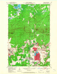
1951 Map of Virginia
USGS Topo · Published 1966About this map
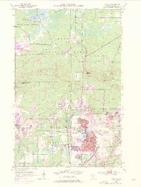
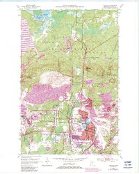
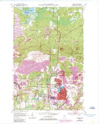
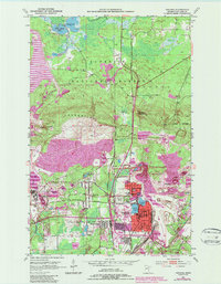
The Laurentian Divide cuts across this 1951 snapshot of the Mesabi Range, marking a point where northern wilderness meets intensive industrial development. The city of Virginia is the primary hub, surrounded by a complex network of iron mines and rail corridors including the Duluth Winnipeg and Pacific and the Great Northern railroads. This era represents the peak of open-pit mining operations, evidenced by the extensive tailings ponds and mine dumps circling Mountain Iron and Franklin. Local civic life is detailed through numerous neighborhood landmarks, including Washington School, Olcott Park, and the city Armory. To the north, the landscape shifts abruptly into the Superior National Forest and the Superior State Game Refuge, where timber and water bodies like Sandy Lake remain largely untouched by the heavy machinery of the southern pits.
Find a feature on this map
42 named features on this map. Tap any name to fly to it.
Don’t see what you’re looking for? This feature index may not catch every label — zoom into the map to look around manually.
Map Details
Editions of this 1951 Virginia Map
9 editions found
Other maps of this area

1950 · Mc Kinley
USGS Topo · 1:24,000

1950 · Biwabik NW
USGS Topo · 1:24,000

1951 · Mc Kinley
USGS Topo · 1:24,000

1951 · Biwabik NW
USGS Topo · 1:24,000

1951 · Gilbert
USGS Topo · 1:24,000

1951 · Eveleth
USGS Topo · 1:24,000

1951 · Virginia
USGS Topo · 1:24,000

1951 · Kinney
USGS Topo · 1:24,000

1951 · Kirk
USGS Topo · 1:24,000

1951 · Britt
USGS Topo · 1:24,000
Featured Places
- Virginia, MN
- Mountain Iron, MN
- West Virginia, Mountain Iron
- Brittmount, Mountain Iron
- Franklin, Virginia