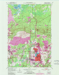
1951 Map of Virginia
USGS Topo · Published 1987About this map
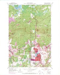
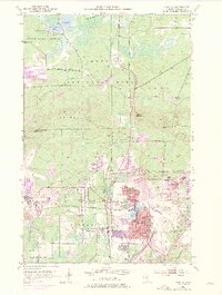
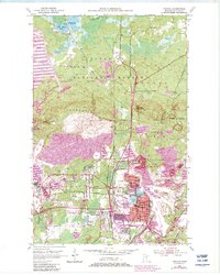
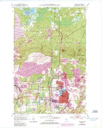
Industrial activity on the Mesabi Range dominates this survey, where the Wacootah Mine and numerous expansive mine dumps carve into the landscape north of Mountain Iron and Virginia. The map documents a complex infrastructure of heavy rail, including the Duluth Winnipeg and Pacific and Duluth Missabe and Iron Range lines, which serviced the region's extraction economy.
Find a feature on this map
43 named features on this map. Tap any name to fly to it.
Don’t see what you’re looking for? This feature index may not catch every label — zoom into the map to look around manually.
Map Details
Editions of this 1951 Virginia Map
9 editions found
Other maps of this area

1950 · Mc Kinley
USGS Topo · 1:24,000

1950 · Biwabik NW
USGS Topo · 1:24,000

1951 · Mc Kinley
USGS Topo · 1:24,000

1951 · Biwabik NW
USGS Topo · 1:24,000

1951 · Gilbert
USGS Topo · 1:24,000

1951 · Eveleth
USGS Topo · 1:24,000

1951 · Virginia
USGS Topo · 1:24,000

1951 · Kinney
USGS Topo · 1:24,000

1951 · Kirk
USGS Topo · 1:24,000

1951 · Britt
USGS Topo · 1:24,000
Featured Places
- Virginia, MN
- Mountain Iron, MN
- West Virginia, Mountain Iron
- Brittmount, Mountain Iron
- Franklin, Virginia