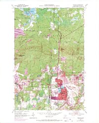
1951 Map of Virginia
USGS Topo · Published 1971About this map
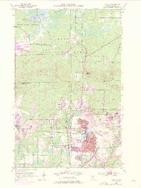
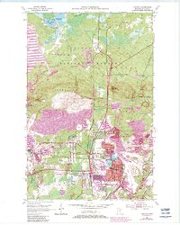
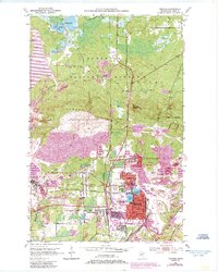
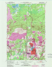
The iron mining operations of the Mesabi Range dominate this landscape near Virginia and Mountain Iron. Enormous excavations and landforms such as the Wacootah Mine, Sidney Mine, and numerous Mine Dumps shape the topography, illustrating the scale of industrial activity during the mid-20th century. The urban centers are densely packed with civic infrastructure, from the Armory and City Hall to local neighborhood anchors like Washington Sch and Horace Mann Sch. In the northern section, the industrial character gives way to the Superior National Forest and the State Game Refuge near Sandy Lake. This contrast highlights the adjacency of heavy industry and wilderness that defined St. Louis County during this era. Transportation is dictated by the needs of ore movement, featuring the Duluth Missabe and Iron Range and Duluth Winnipeg and Pacific railroads.
Find a feature on this map
49 named features on this map. Tap any name to fly to it.
Don’t see what you’re looking for? This feature index may not catch every label — zoom into the map to look around manually.
Map Details
Editions of this 1951 Virginia Map
9 editions found
Other maps of this area

1950 · Mc Kinley
USGS Topo · 1:24,000

1950 · Biwabik NW
USGS Topo · 1:24,000

1951 · Mc Kinley
USGS Topo · 1:24,000

1951 · Biwabik NW
USGS Topo · 1:24,000

1951 · Gilbert
USGS Topo · 1:24,000

1951 · Eveleth
USGS Topo · 1:24,000

1951 · Virginia
USGS Topo · 1:24,000

1951 · Kinney
USGS Topo · 1:24,000

1951 · Kirk
USGS Topo · 1:24,000

1951 · Britt
USGS Topo · 1:24,000
Featured Places
- Virginia, MN
- Mountain Iron, MN
- West Virginia, Mountain Iron
- Brittmount, Mountain Iron
- Franklin, Virginia