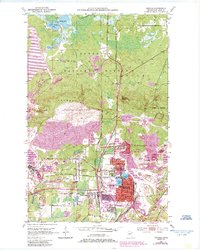
1951 Map of Virginia
USGS Topo · Published 1985About this map
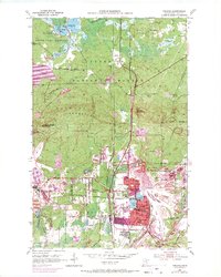
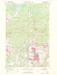
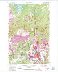
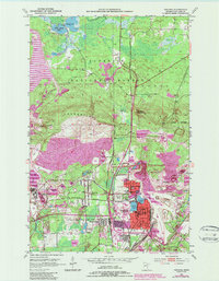
Industrial activity on the Mesabi Iron Range dominates this mid-century survey, centered on the city of Virginia and the nearby settlement of Mountain Iron. The landscape is defined by massive excavations and mining infrastructure, including the Wacootah Mine and Auburn Pit, along with numerous mine dumps and tailings ponds. The Laurentian Divide cuts across the southern portion of the sheet, separating the Great Lakes and Hudson Bay watersheds.
Find a feature on this map
43 named features on this map. Tap any name to fly to it.
Don’t see what you’re looking for? This feature index may not catch every label — zoom into the map to look around manually.
Map Details
Editions of this 1951 Virginia Map
9 editions found
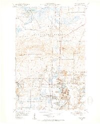
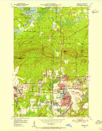
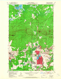
Other maps of this area

1950 · Mc Kinley
USGS Topo · 1:24,000

1950 · Biwabik NW
USGS Topo · 1:24,000

1951 · Mc Kinley
USGS Topo · 1:24,000

1951 · Biwabik NW
USGS Topo · 1:24,000

1951 · Gilbert
USGS Topo · 1:24,000

1951 · Eveleth
USGS Topo · 1:24,000

1951 · Virginia
USGS Topo · 1:24,000

1951 · Kinney
USGS Topo · 1:24,000

1951 · Kirk
USGS Topo · 1:24,000

1951 · Britt
USGS Topo · 1:24,000
Featured Places
- Virginia, MN
- Mountain Iron, MN
- West Virginia, Mountain Iron
- Brittmount, Mountain Iron
- Franklin, Virginia