
Loading...
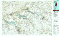
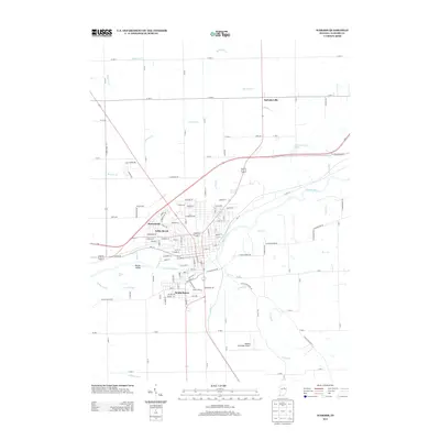
Loading map...1986 Map of Wabash
USGS Topo · Published 1986About this map
The Wabash River and its major tributaries anchor this mid-1980s landscape, illustrating a region defined by substantial flood control projects and well-established industrial corridors. The creation of Mississinewa Lake, Salamonie Lake, and Huntington Lake significantly altered the terrain of Wabash and Huntington counties, submerging older riverbed topographies in favor of large-scale recreation and water management areas like the Salamonie River State Forest.
Find a feature on this map
171 named features on this map. Tap any name to fly to it.
Don’t see what you’re looking for? This feature index may not catch every label — zoom into the map to look around manually.
Map Details
Date Portrayed1986
Date Published1986
PublisherU.S. Geological Survey
Map TypeTopographic
Scale1:100,000
Physical Dimensions40 x 24.1 inches
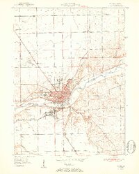
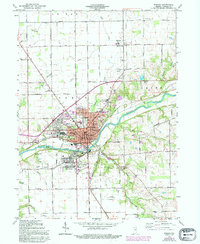
Editions of this 1986 Wabash Map
2 editions found
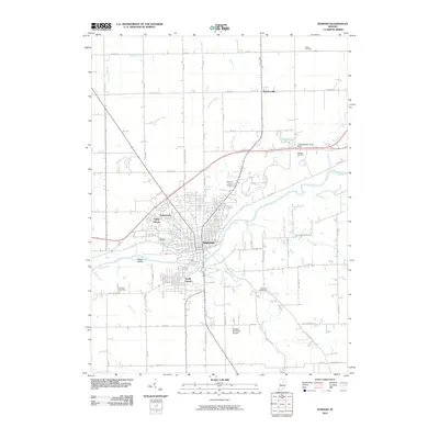
Historical Maps of Fort Wayne Through Time
8 maps found
Featured Locations
Source Details
SourceU.S. Geological Survey
CopyrightPublic Domain