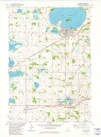
1981 Map of Waconia
USGS Topo · Published 1982About this map
Lake Waconia dominates the northern landscape of this Carver County survey, featuring the prominent Coney Island and several recreational landmarks like Camp Manakiki and a local Fairground. The city of Waconia serves as the primary hub, surrounded by a dense network of smaller water bodies including Burandt Lake, Rutz Lake, and Reitz Lake. To the south, the village of Cologne sits near Benton Lake, while the smaller settlement of Benton and the rail-stop at Borgards indicate the rural distribution of the era.
Find a feature on this map
45 named features on this map. Tap any name to fly to it.
Don’t see what you’re looking for? This feature index may not catch every label — zoom into the map to look around manually.
Map Details
Editions of this 1981 Waconia Map
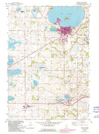
2 editions found
Other maps of this area

1905 · Minnetonka
USGS Topo · 1:62,500

1907 · Minnetonka
USGS Topo · 1:62,500

1953 · Saint Paul
USGS Topo · 1:250,000

1957 · Belle Plaine
USGS Topo · 1:62,500

1957 · Waconia
USGS Topo · 1:62,500

1957 · New Prague
USGS Topo · 1:62,500

1958 · Victoria
USGS Topo · 1:24,000

1958 · Mound
USGS Topo · 1:24,000

1958 · Lake Minnetonka
USGS Topo · 1:62,500

1959 · Saint Paul
USGS Topo · 1:250,000