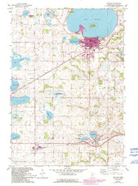
1981 Map of Waconia
USGS Topo · Published 1993About this map
Lake Waconia dominates the northern landscape of this Carver County region, where the town of Waconia sits along the southern shore. The map illustrates a developed lakefront economy featuring a Boat Ramp, Golf Course, and Country Club, while Coney Island sits prominently within the water. Moving south, the terrain transitions into a patchwork of glacial lakes and agricultural land, including Burandt Lake, Reitz Lake, and Hydes Lake. The small settlements of Bongards and Cologne serve as local hubs, connected by a network of rural roads and drainage infrastructure like County Ditch No 1.
Find a feature on this map
45 named features on this map. Tap any name to fly to it.
Don’t see what you’re looking for? This feature index may not catch every label — zoom into the map to look around manually.
Map Details
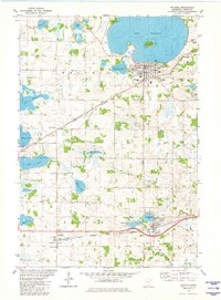
Editions of this 1981 Waconia Map
2 editions found
Other maps of this area

1905 · Minnetonka
USGS Topo · 1:62,500

1907 · Minnetonka
USGS Topo · 1:62,500

1953 · Saint Paul
USGS Topo · 1:250,000

1957 · Belle Plaine
USGS Topo · 1:62,500

1957 · Waconia
USGS Topo · 1:62,500

1957 · New Prague
USGS Topo · 1:62,500

1958 · Victoria
USGS Topo · 1:24,000

1958 · Mound
USGS Topo · 1:24,000

1958 · Lake Minnetonka
USGS Topo · 1:62,500

1959 · Saint Paul
USGS Topo · 1:250,000