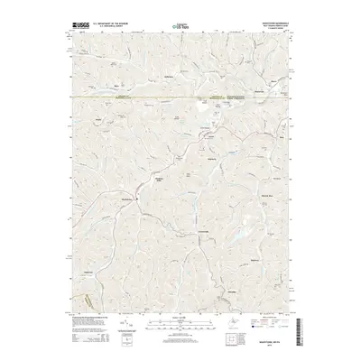
2014 Map of Wadestown
USGS Topo · Published 2014About this map
Pennsylvania Fork Dunkard Cr and W Virginia Fork Dunkard Cr wind through this borderland, where the state line divides Greene County from Monongalia County. The landscape is defined by its numerous family-named cemeteries and small rural settlements like Wadestown and Jollytown. Genealogists will find a wealth of specific sites, from the Old Mt Tabor Cem and New Mt Tabor Cem to the Handeardner Cem near Hunting Hills. The intricate network of hollows, including Stiles Hollow and Coal Hollow, suggests a legacy of local extraction and timbering that shaped the region's development. Notable landmarks such as McFeeters Knob and Efaw Knob rise above the drainage systems of Miracle Run and Browns Run, providing clear reference points for the area's complex topography and scattered communities like Saint Leo and Bula.
Find a feature on this map
122 named features on this map. Tap any name to fly to it.
Don’t see what you’re looking for? This feature index may not catch every label — zoom into the map to look around manually.
Map Details
Editions of this 2014 Wadestown Map
This is the sole edition of this map. No revisions or reprints were ever made.
Other maps of this area

1901 · Waynesburg
USGS Topo · 1:62,500

1904 · Blacksville
USGS Topo · 1:62,500

1904 · Waynesburg
USGS Topo · 1:62,500

1905 · Mannington
USGS Topo · 1:62,500

1905 · Rogersville
USGS Topo · 1:62,500

1923 · Blacksville
USGS Topo · 1:62,500

1923 · Mannington
USGS Topo · 1:62,500

1925 · Blacksville
USGS Topo · 1:62,500

1926 · Mannington
USGS Topo · 1:62,500

1949 · Clarksburg
USGS Topo · 1:250,000