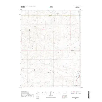
2019 Map of Wagon Track Ridge
USGS Topo · Published 2019About this map
The Colorado River carves through the southeastern corner of this landscape, marking the entrance to De Beque Canyon near the settlement of Akin. This rugged geography is defined by a series of prominent high points and erosional features, including Twin Peaks, Pyramid Rock, and Castle Rock. The map illustrates a complex drainage network where Sulphur Gulch and White Sage Draw descend from the surrounding heights toward the river valley.
Find a feature on this map
25 named features on this map. Tap any name to fly to it.
Don’t see what you’re looking for? This feature index may not catch every label — zoom into the map to look around manually.
Map Details
Editions of this 2019 Wagon Track Ridge Map
This is the sole edition of this map. No revisions or reprints were ever made.
Other maps of this area

1929 · Grand Valley
USGS Topo · 1:62,500

1929 · Roan Creek
USGS Topo · 1:62,500

1955 · Cameo
USGS Topo · 1:24,000

1955 · Mesa
USGS Topo · 1:24,000

1956 · Grand Junction
USGS Topo · 1:250,000

1959 · Grand Junction
USGS Topo · 1:250,000

1960 · Grand Junction
USGS Topo · 1:250,000

1962 · Grand Junction
USGS Topo · 1:250,000
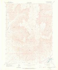
1962 · Red Pinnacle
USGS Topo · 1:24,000
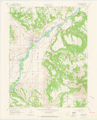
1962 · De Beque
USGS Topo · 1:24,000