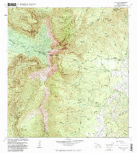
1983 Map of Waialeale
USGS Topo · Published 1984About this map
Waialeale and the towering peak of Kawakini dominate this central Kauai landscape, marking one of the wettest spots on earth during the early 1980s. The terrain is defined by a radial drainage system where the Wainiha River, Hanalei River, and the forks of the Wailua River descend from the high interior plateaus. The hydrological complexity of the island is visible through numerous gaging stations and infrastructure like the Upper Powerhouse and Lower Powerhouse, connected by an intricate system of ditches and flumes near the Lihue-Koloa Forest Reserve.
Find a feature on this map
68 named features on this map. Tap any name to fly to it.
Don’t see what you’re looking for? This feature index may not catch every label — zoom into the map to look around manually.
Map Details
Editions of this 1983 Waialeale Map
2 editions found
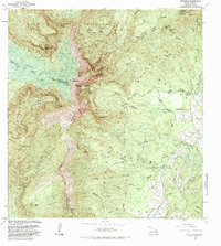
Other maps of this area

1954 · Kauai
USGS Topo · 1:250,000

1963 · Anahola
USGS Topo · 1:24,000

1963 · Lihue
USGS Topo · 1:24,000

1963 · Hanapepe
USGS Topo · 1:24,000

1963 · Kapaa
USGS Topo · 1:24,000

1963 · Koloa
USGS Topo · 1:24,000

1963 · Hanalei
USGS Topo · 1:24,000

1965 · Waimea Canyon
USGS Topo · 1:24,000

1965 · Haena
USGS Topo · 1:24,000

1965 · Waialeale
USGS Topo · 1:24,000